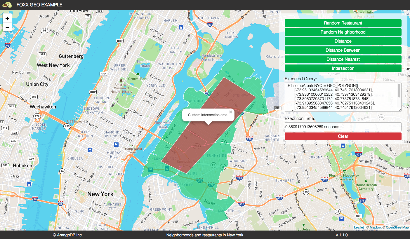
A Foxx based geo example using the new (v3.4+) s2 geospatial index This example will work with ArangoDB 3.4 and upcoming versions.
First install the foxx service. Create two document collections called restaurants and neighborhoods.
Then import the needed datasets from data folder.
./arangoimp restaurants.json --collection restaurants
./arangoimp neighborhoods.json --collection neighborhoods
Afterwards make sure to create the two geo indices:
db.restaurants.ensureIndex({ type: "geo", fields: [ "location" ], geoJson:true })
db.neighborhoods.ensureIndex({ type: "geo", fields: [ "geometry" ], geoJson:true })
Buttons:
- Random restaurant: Draw and point to a random restaurant
- Random neighborhood: Draw and point to a random neighborhood
Click on a drawn neighborhood to also draw all included restaurants.
